- 6 Posts
- 3 Comments

 0·7 days ago
In other news, it does seem that the skies are finally clearing up a bit, now that we’re well into spring. This shot, from the mid-afternoon on sol 1359, shows how heavily obscured the distant hills on the western horizon were relative to the 1397 shot taken at nearly the same hour, and included above in Paul’s mosaic.
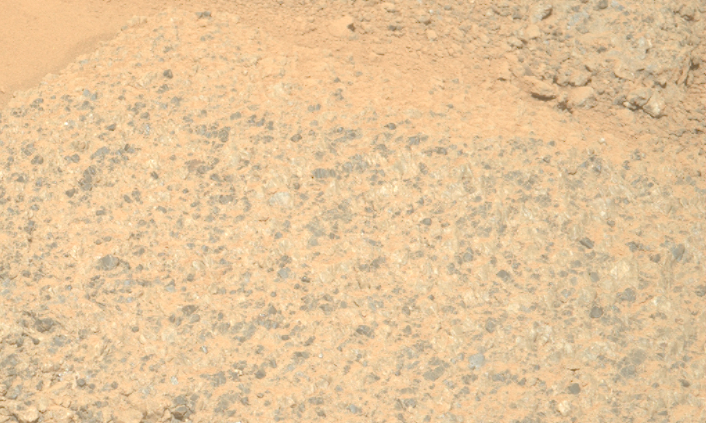
As Paul Hammond mentions, the “melting” is due to material sliding downhill. During the abrasion, which works partly by percussion, you can actually see a pebble sliding downhill (between this frame and this frame, which were taken only one minute apart), to the bottom right of the abrasion bit itself (near the centre of the image).
It’s not always apparent from the images, but the rover is currently on a fairly steep slope; we’re still parked on the exterior/outboard side of the Jezero Crater rim. I wonder how difficult it would be to make the 3D images I used to see from earlier rover missions…
Thank you! I’ve seen some of these before when looking at 3D models of the abrasion patches, but those shape models are quite useful in general.
I was thinking specifically of the “anaglyph” images we used to get from the MER PanCams and NavCams (such as the “Legacy Pan” from Opportunity). Even individual 3D frames could be quite mind-blowing in demonstrating the true ruggedness of those landscapes. The environments in and around Jezero, let alone Mt. Sharp, can’t be any less rugged than those were.